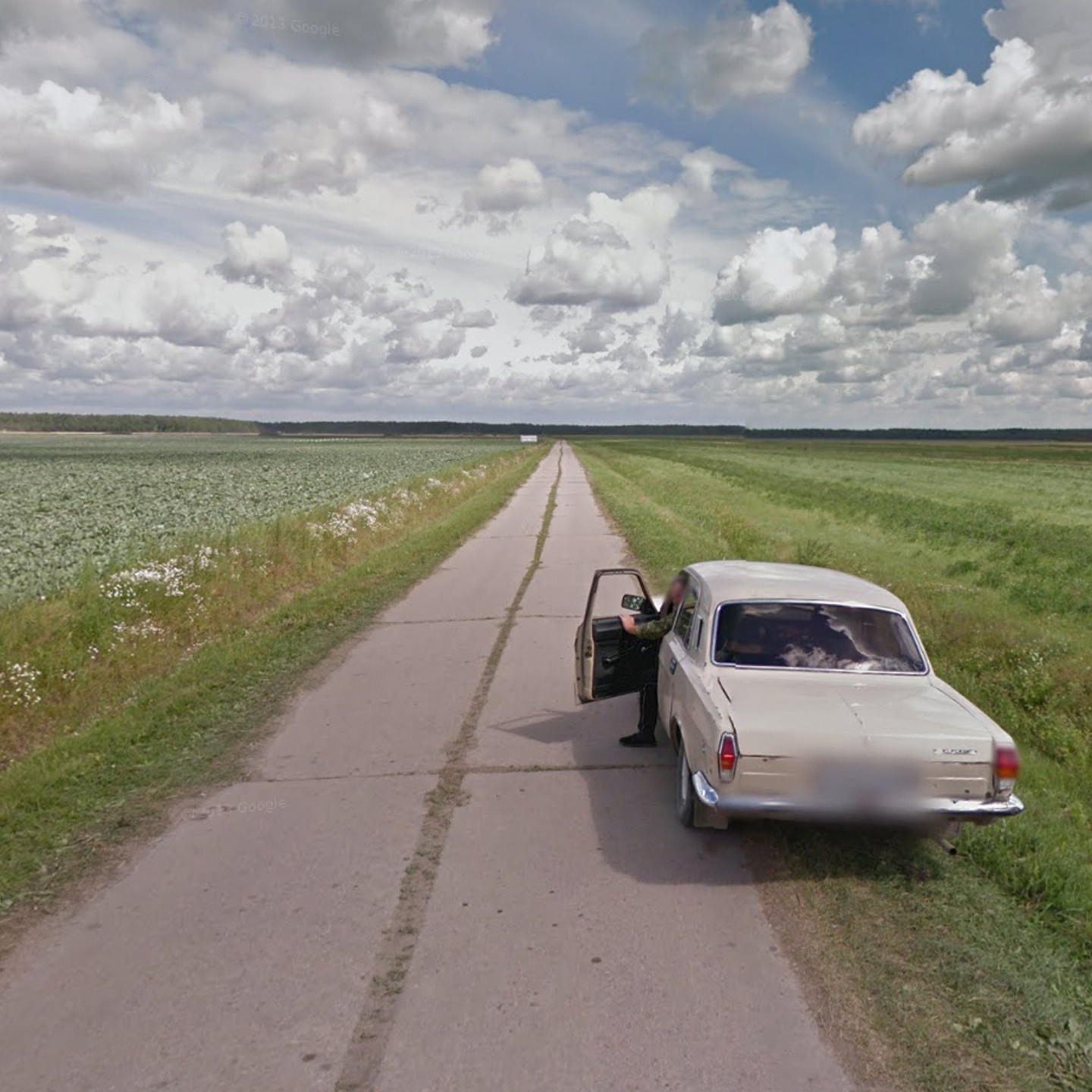
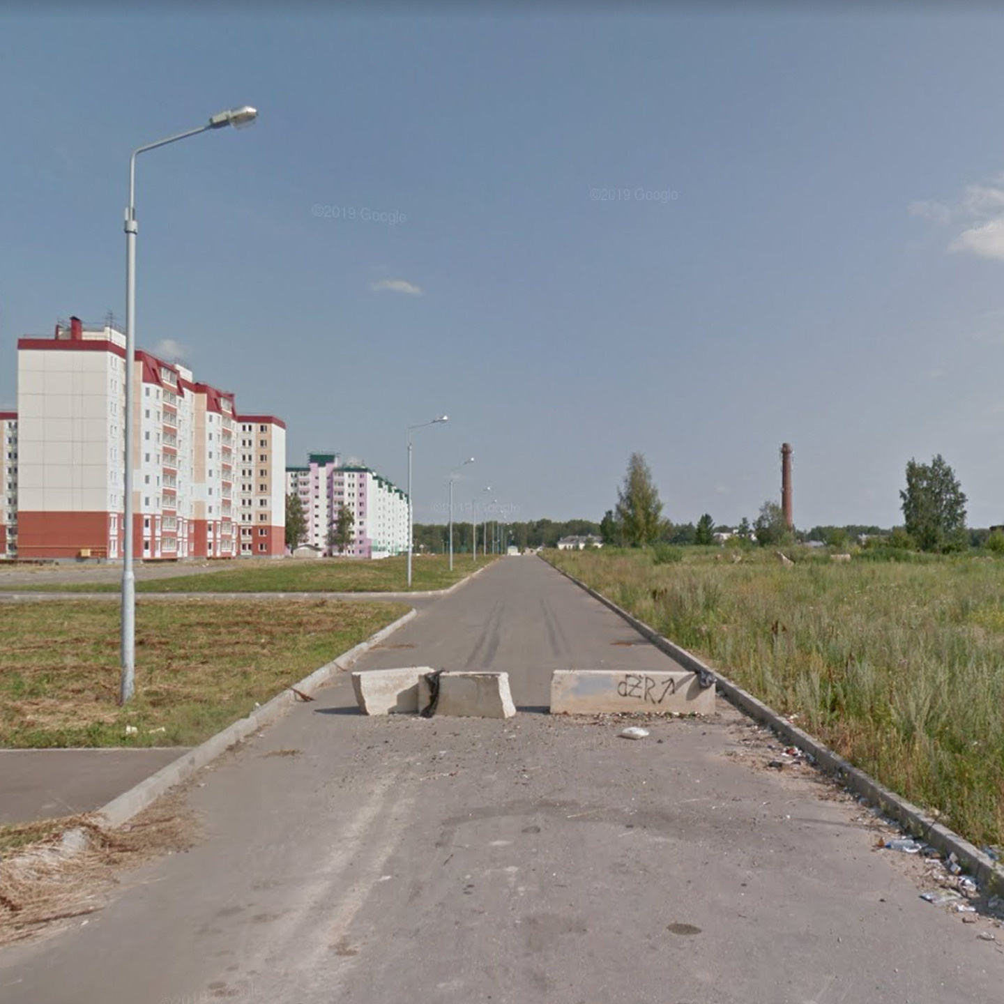
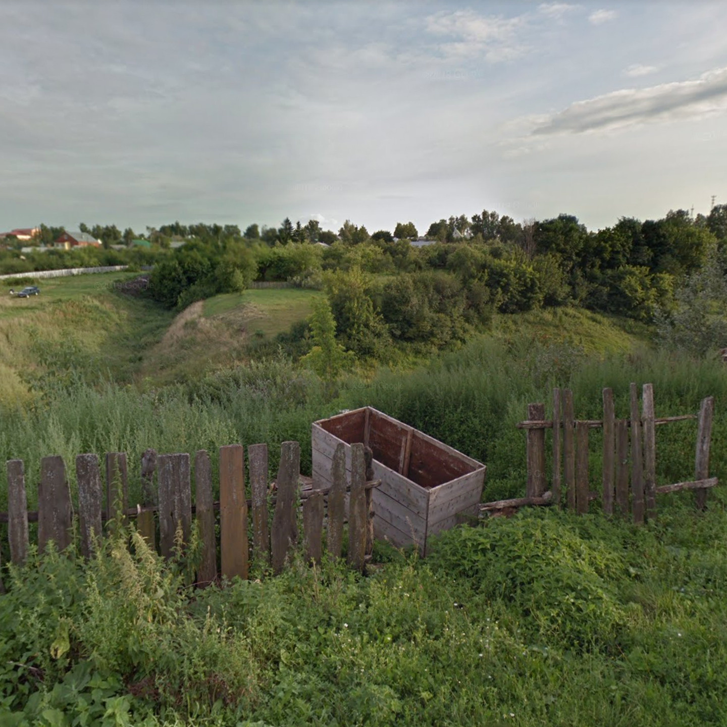
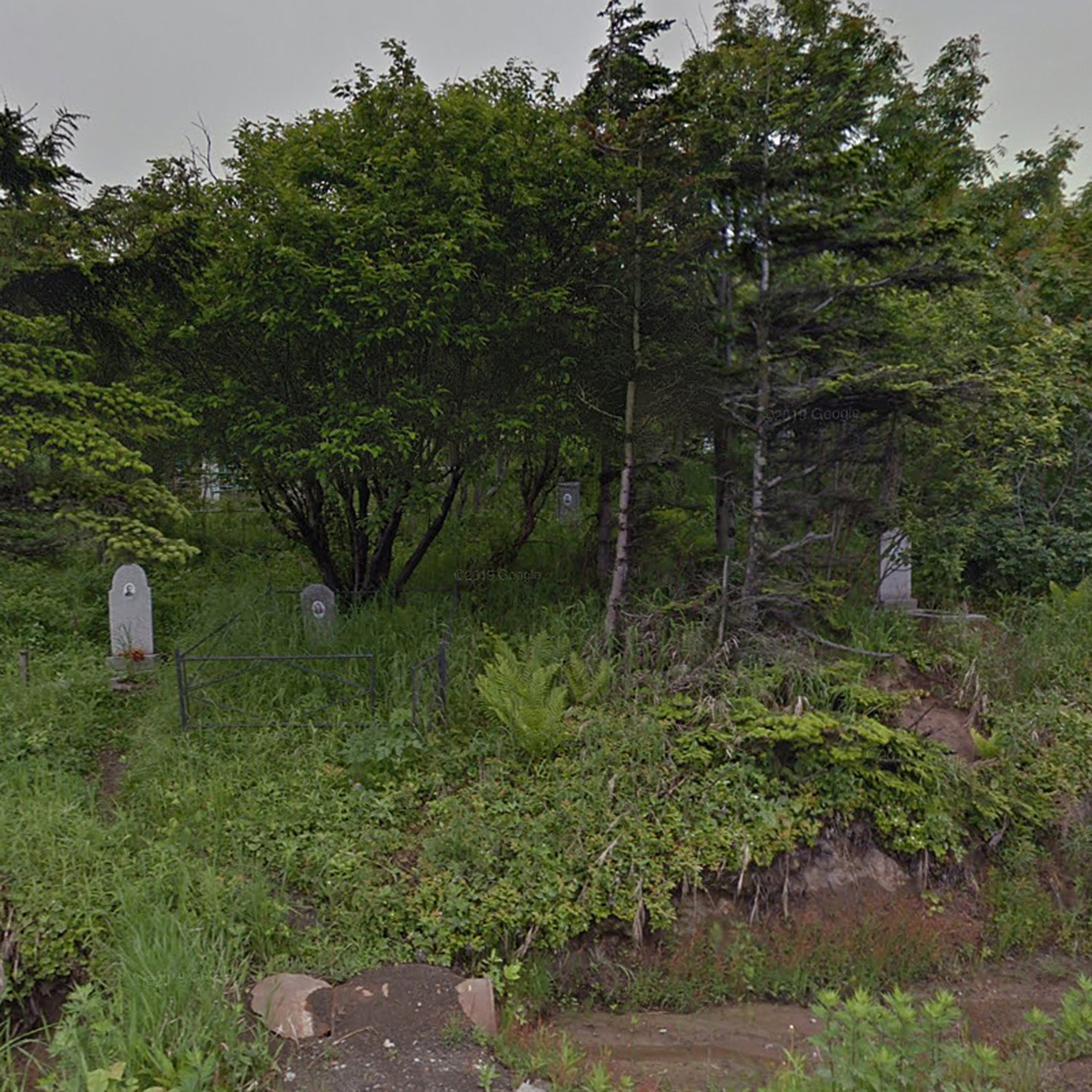
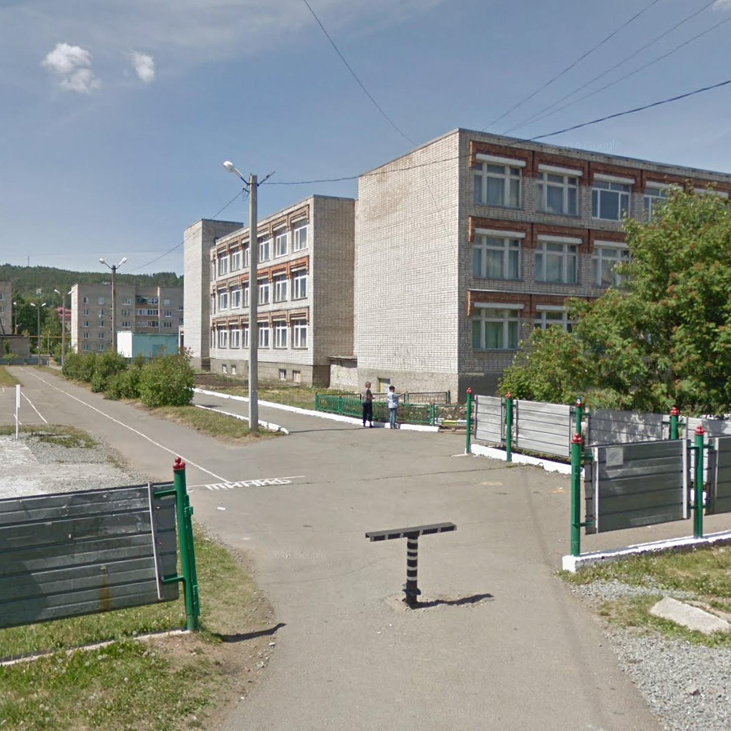
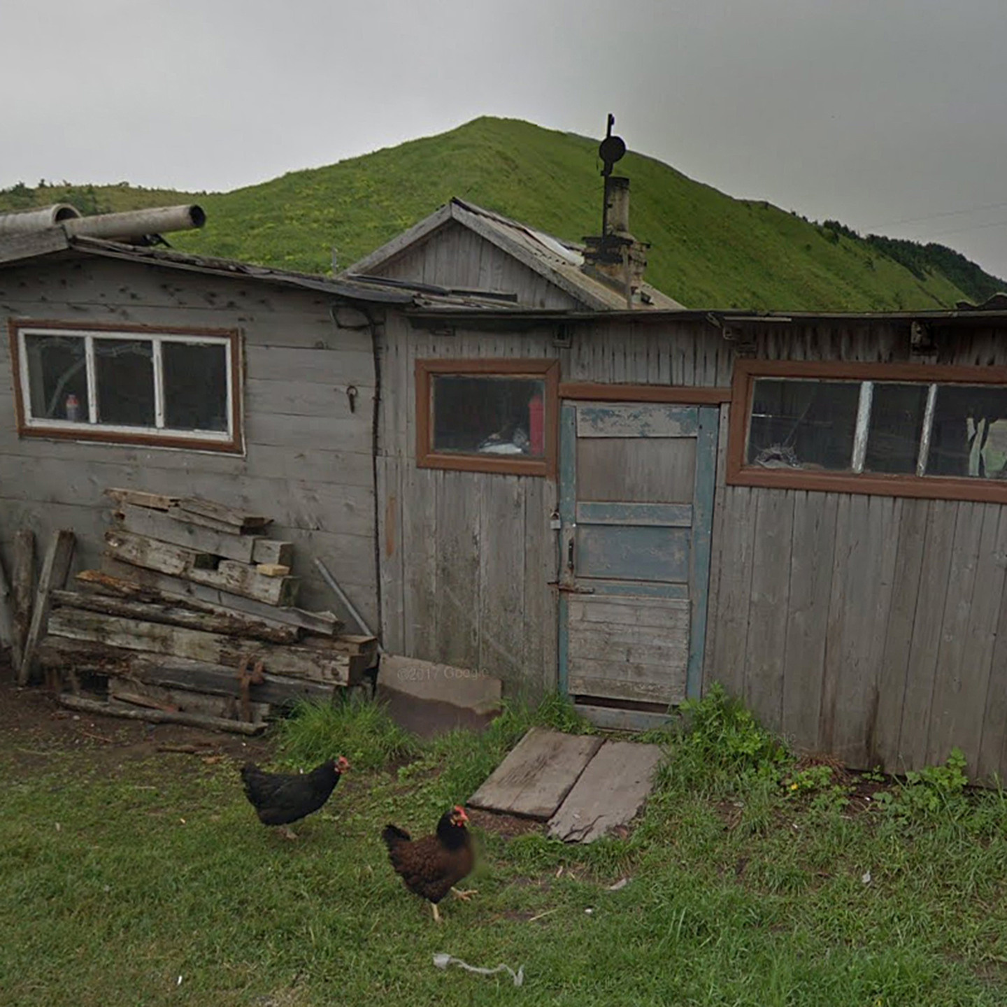
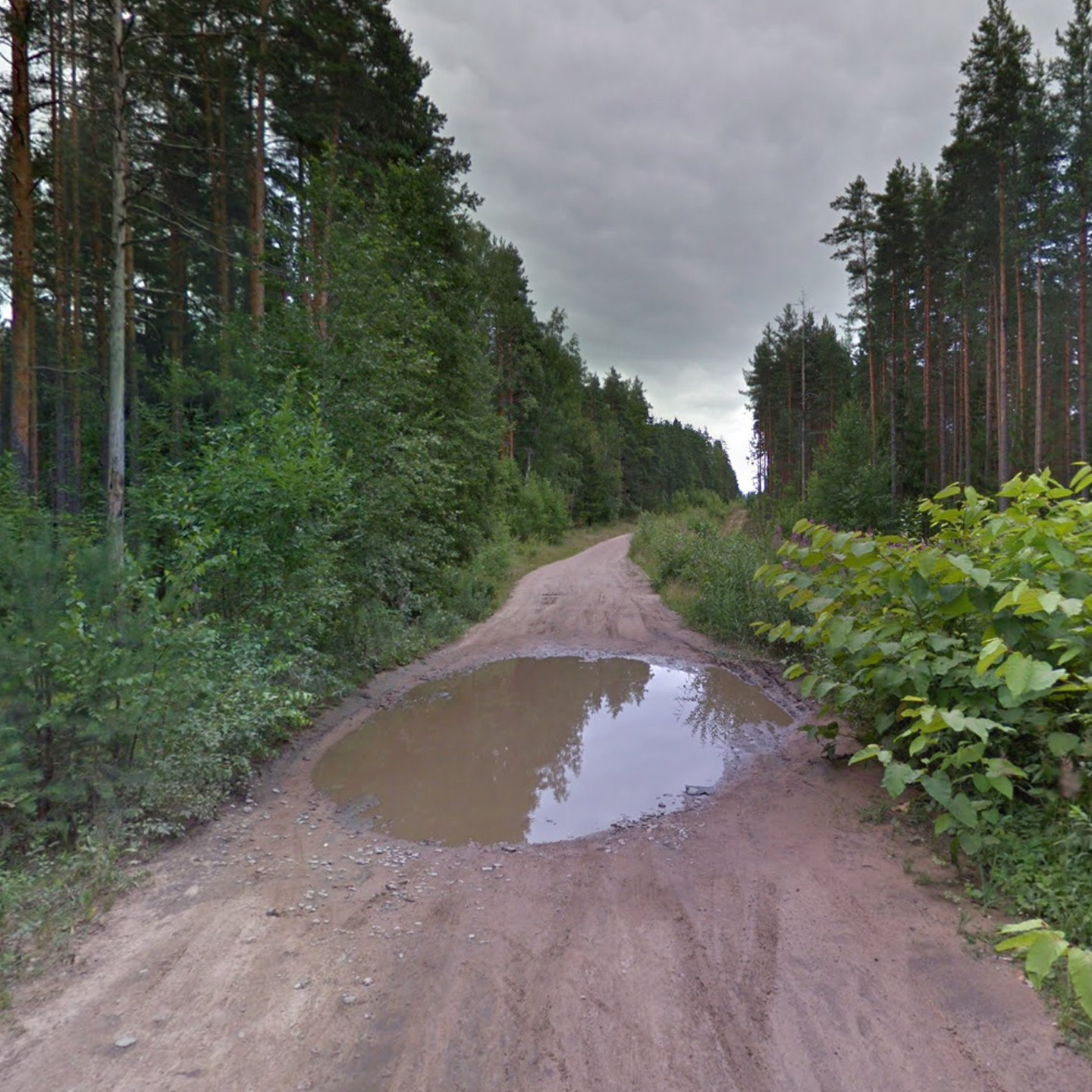
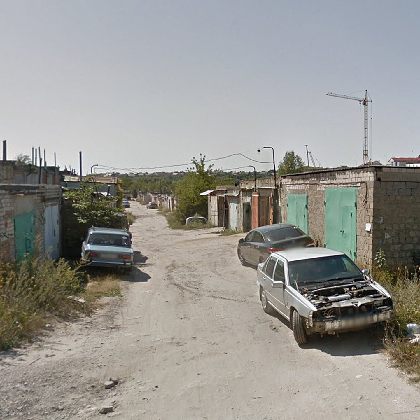
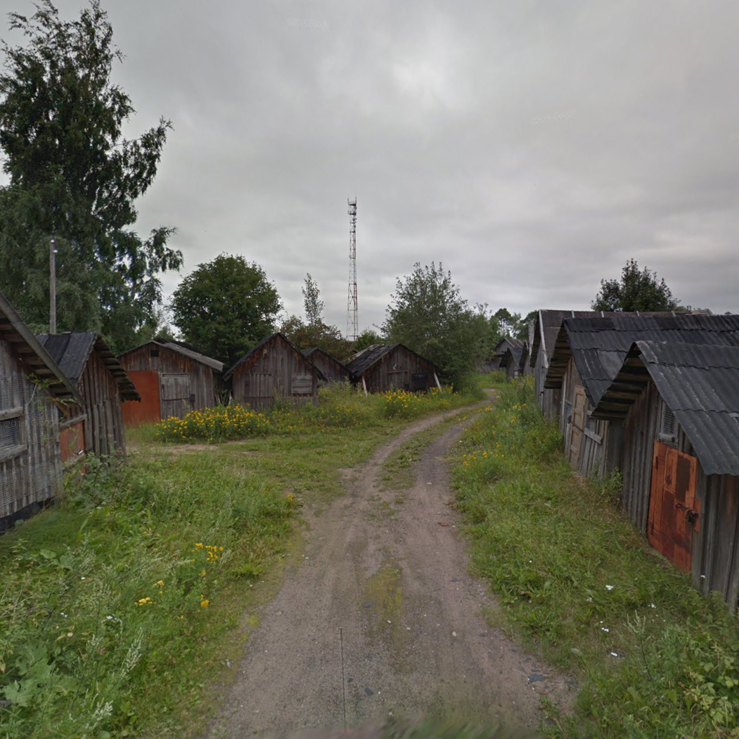
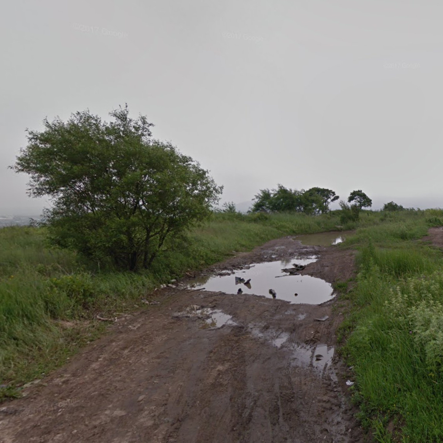
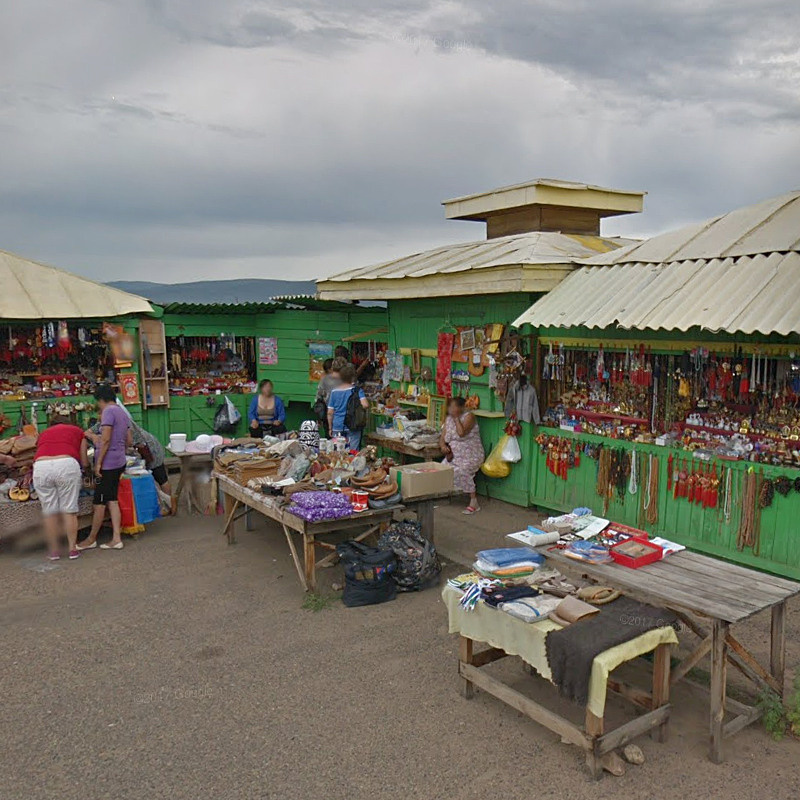
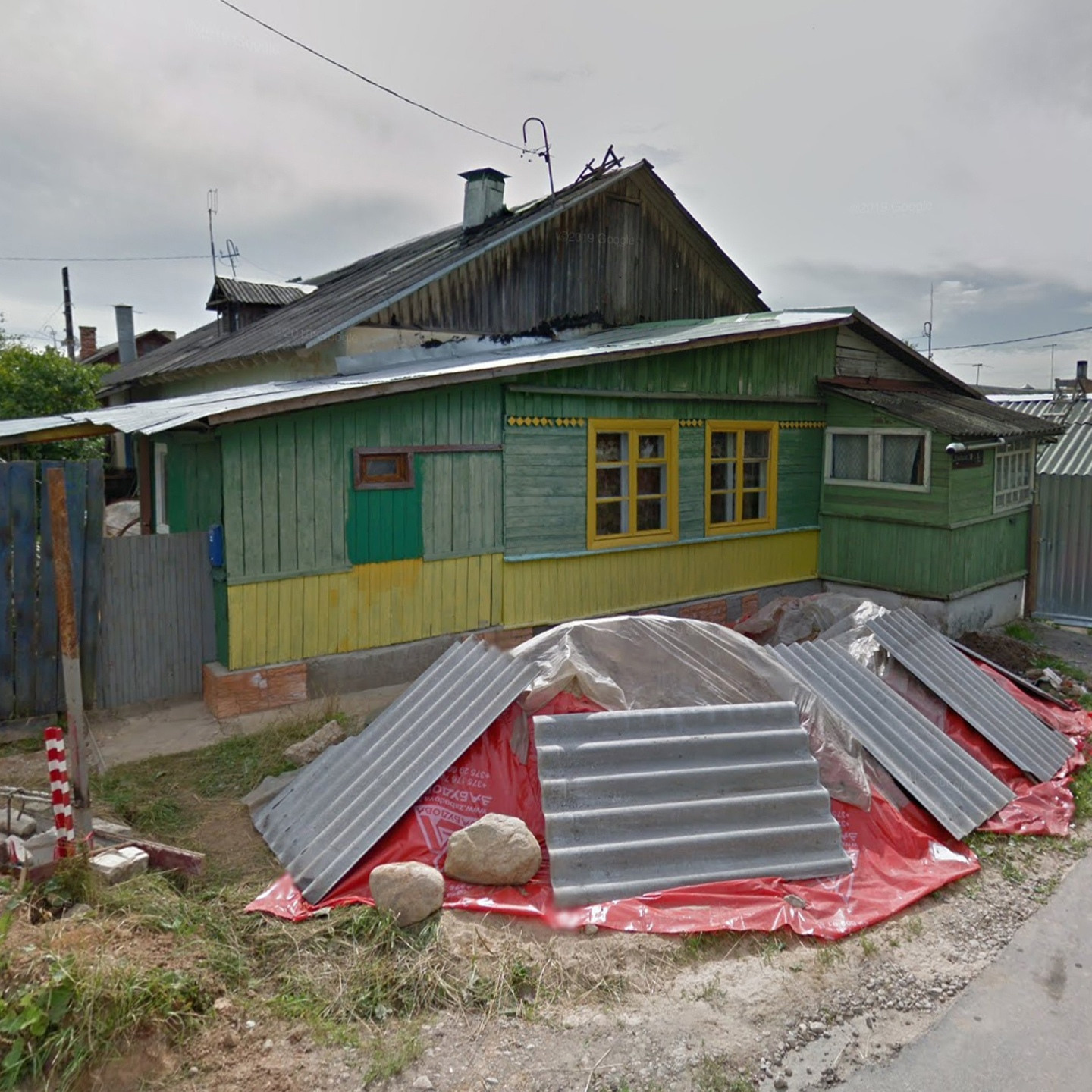
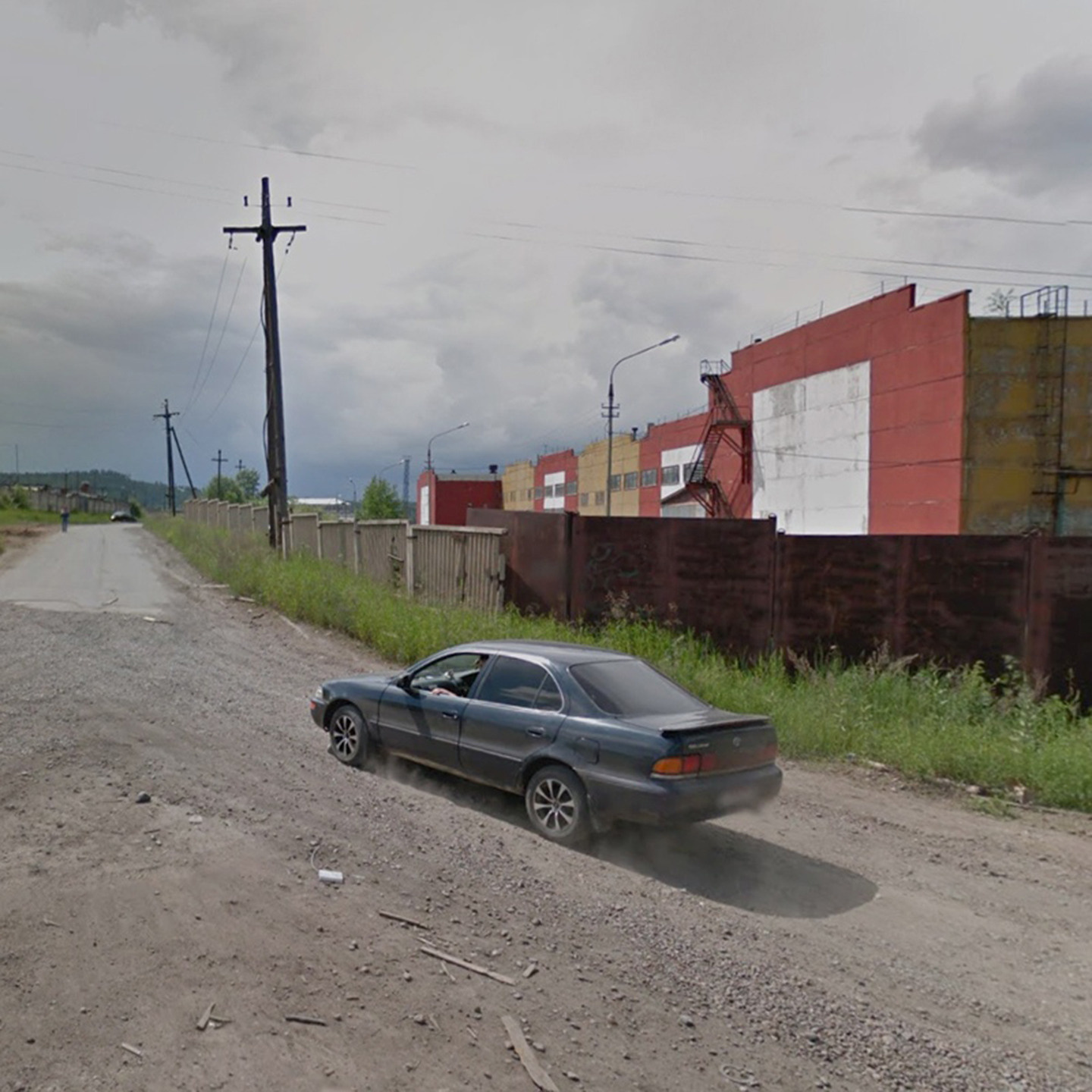
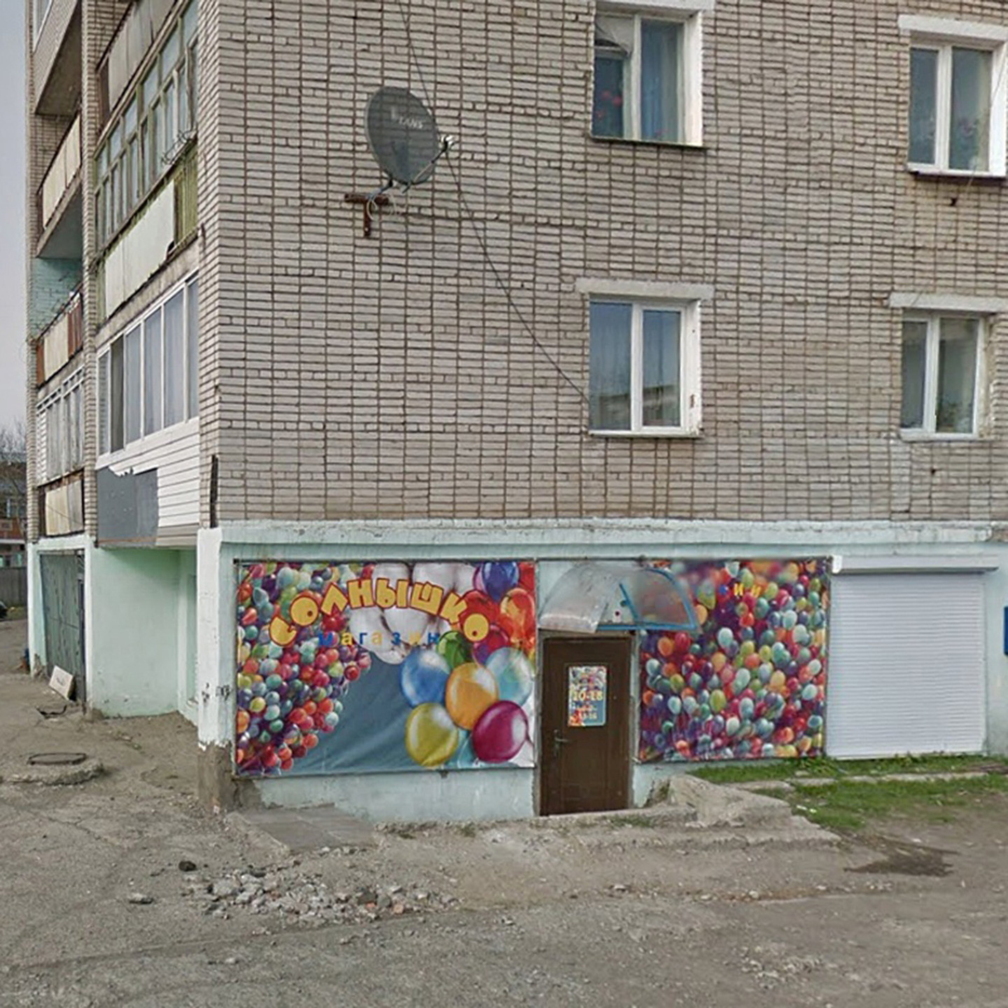
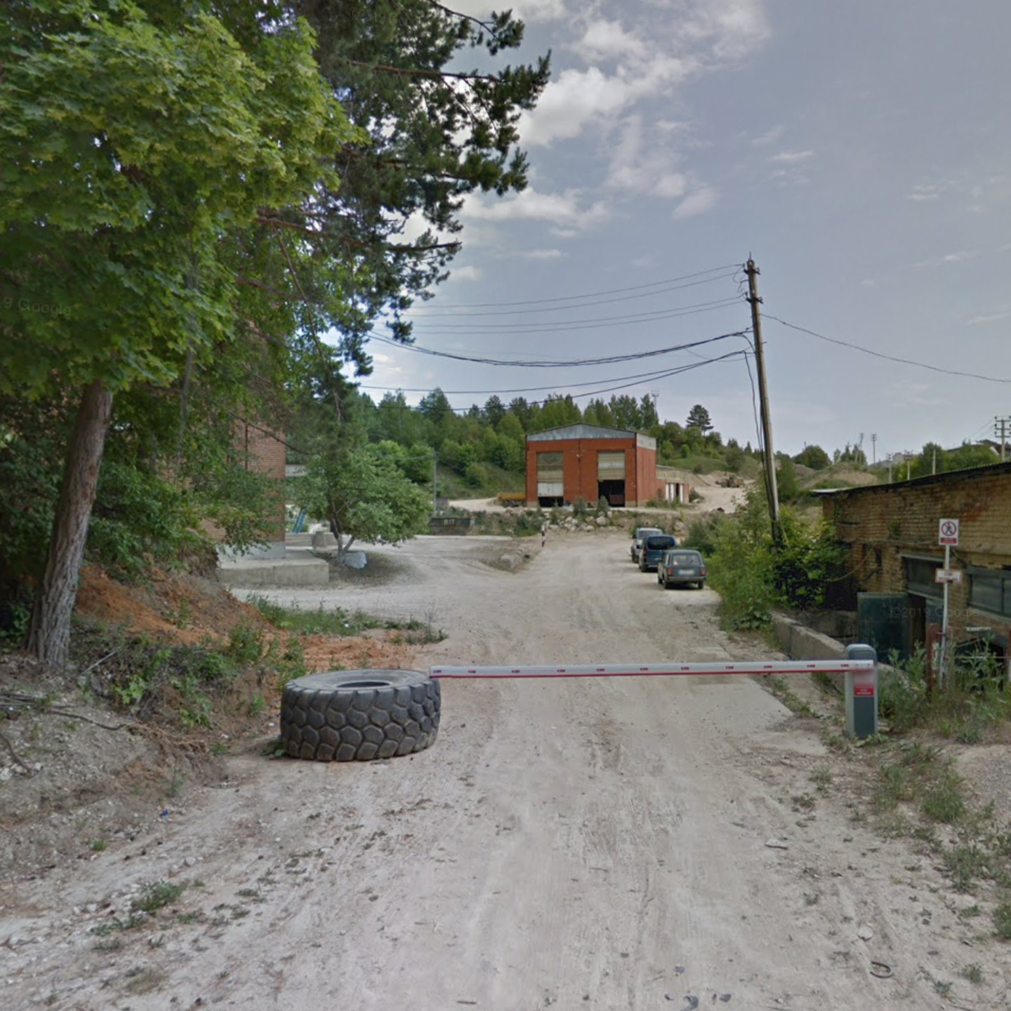
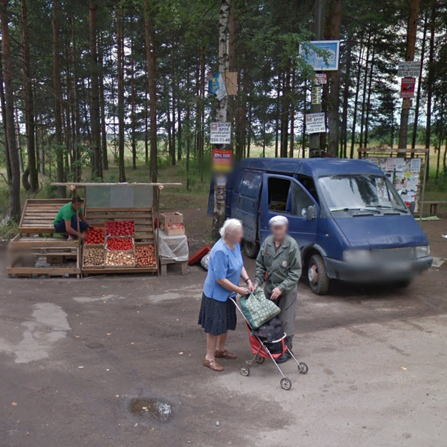
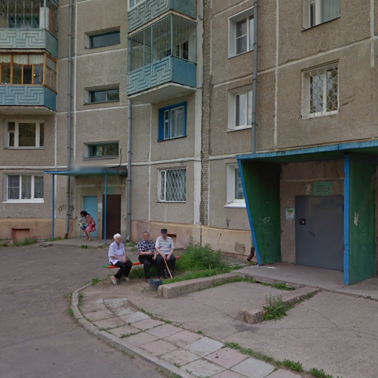
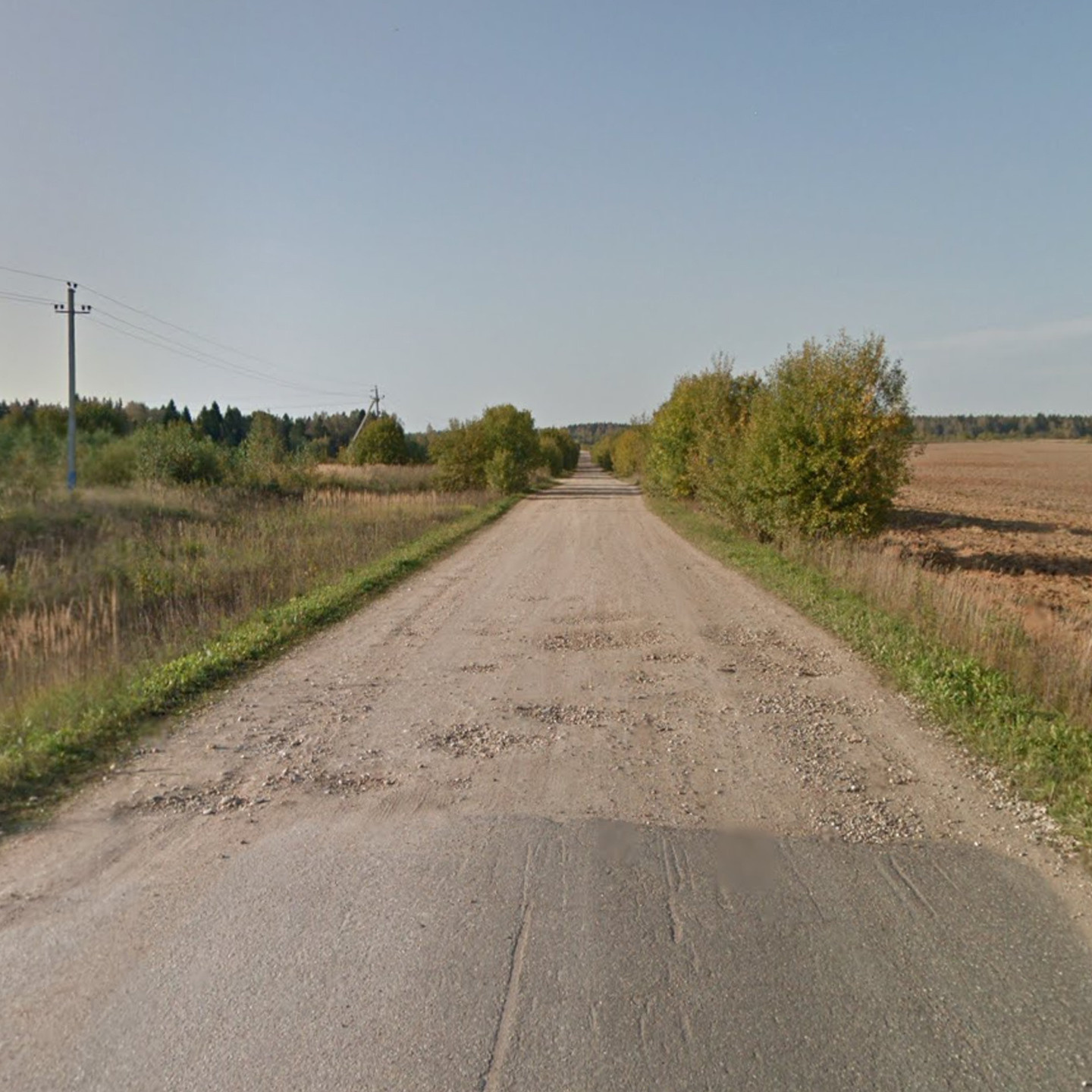
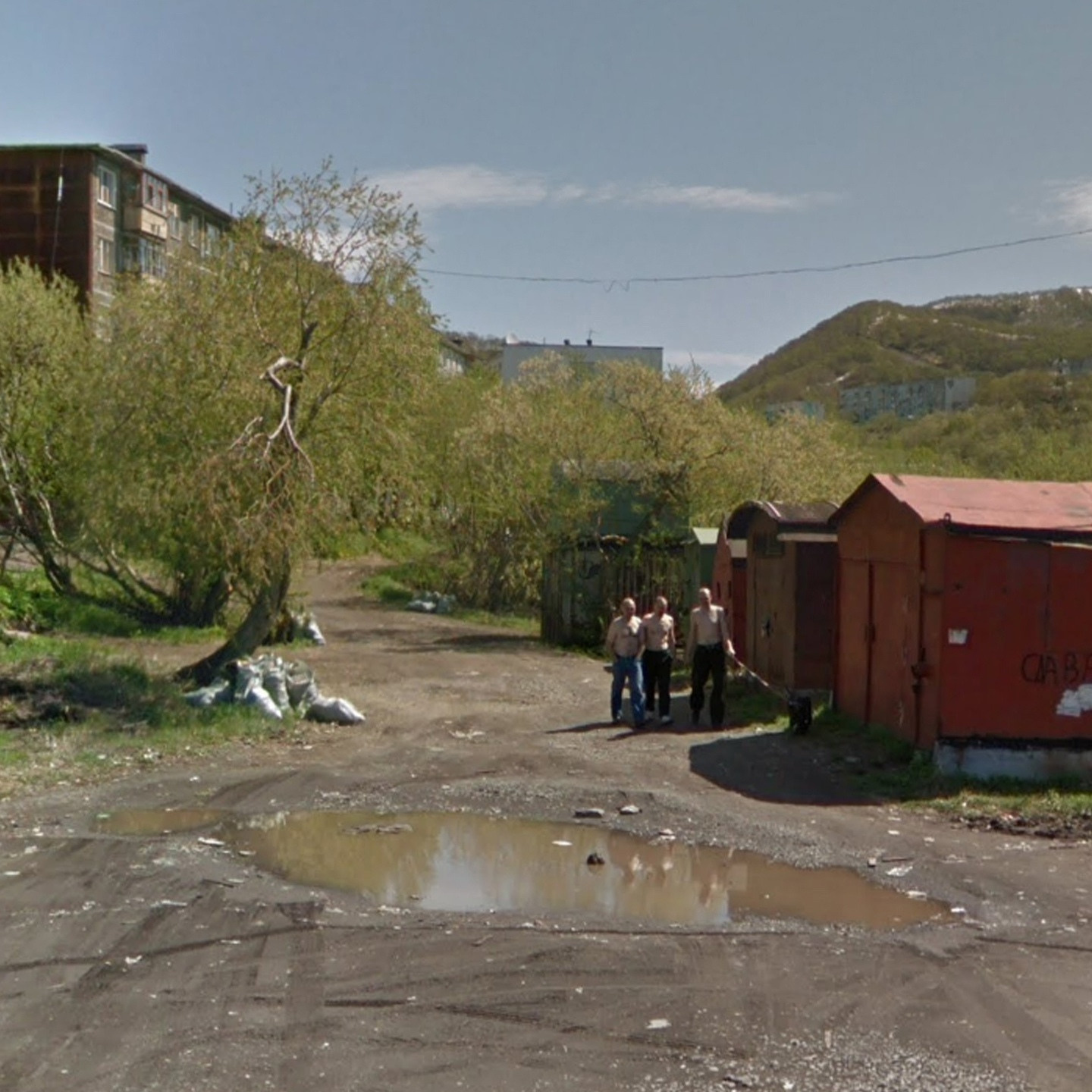
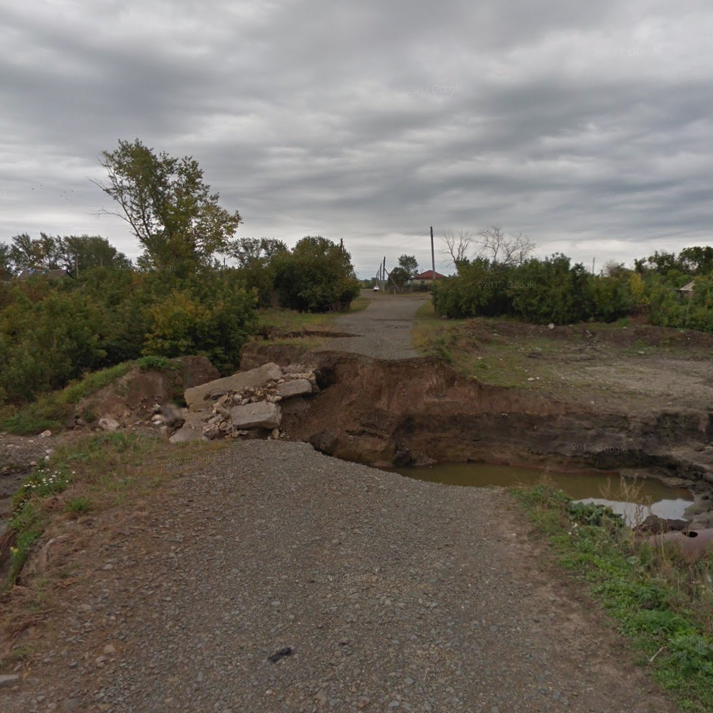
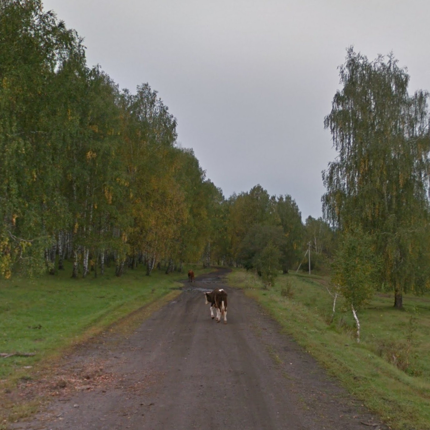
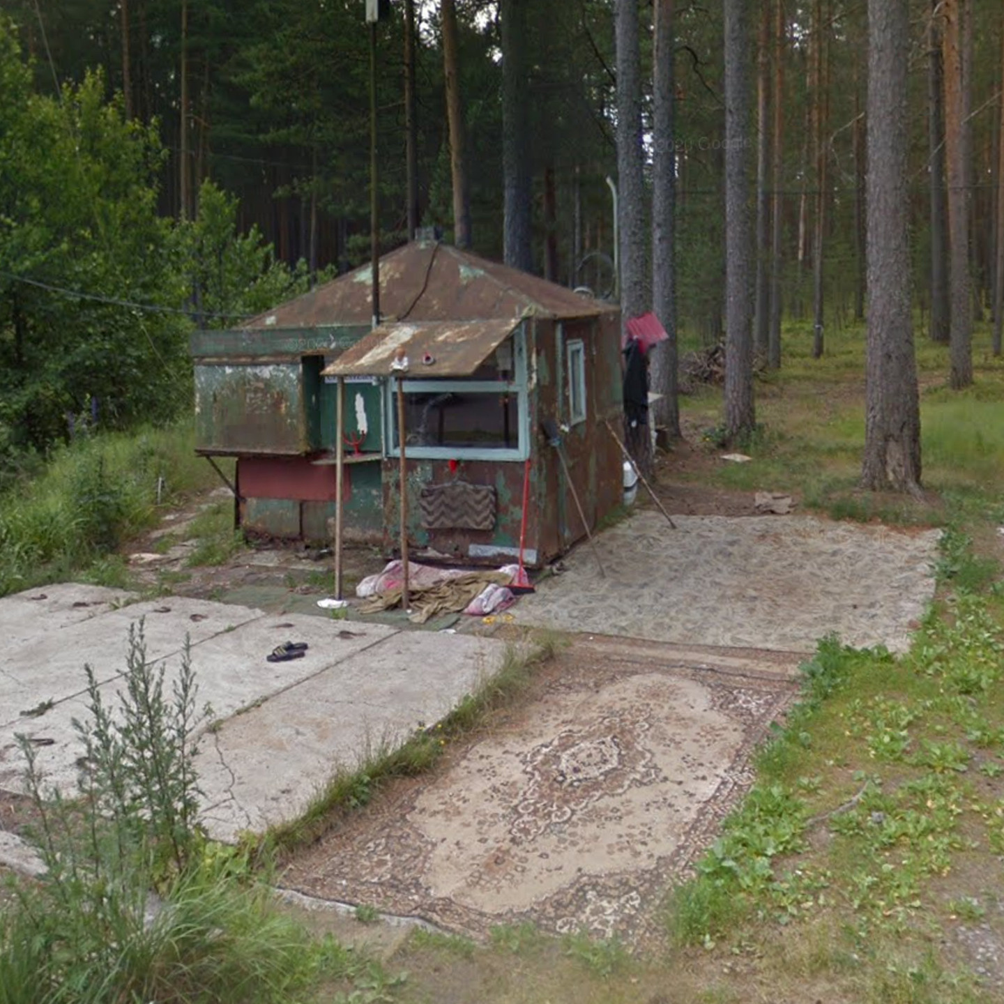
Virtual Dead Ends is a visual exploration of the points where photographic documentation of terrain by Google Street View vehicles was ceased. It is often not clear what became the reason for stopping the shooting as the roads are mapped beyond the final points of the vehicles' journeys; however, numerous external factors can often disrupt the mission.
The missions to the far ends of the map are not repeated for long periods of time (some of the panoramic views have not been updated since 2012) and there are currently no attempts to resume the exploratory missions scheduled.
This has contributed towards the creation of a collective image of a virtual Russia that is frozen in time, being captured in snapshots from various years.